|
| Our Iowa home for 4 nights |
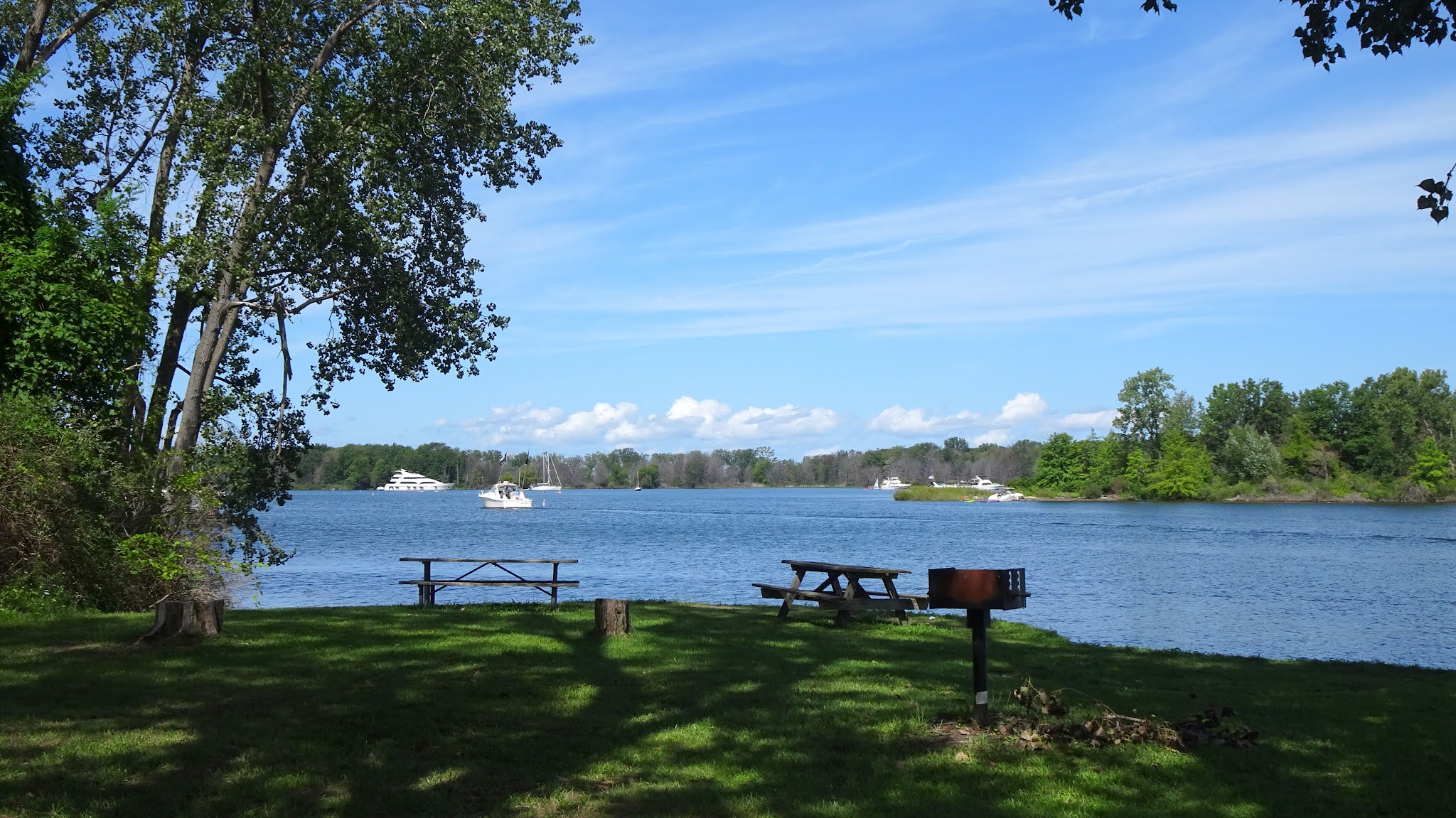
The next and last planned stop on our 2021 Summer Of Covid Tour was Hartford, Iowa, just south of Des Moines, and home to our Lazy Daze friends Chuck and Carla. They have been trying to get us to come and visit them for years but we always had other summer plans that did not include Iowa.
Fortunately, they head out in their RV several times a year so we have always managed to meet up
somewhere else.


A friend of theirs we had met in Texas a number of years ago came for a visit, and we also got to meet their oldest daughter. I was remiss in taking photos, and we didn't really go anywhere other than a daily walk wherever Chuck directed us. By this point in our trip, we were tired of playing tourist and were just happy to sit around and talk, play games, and eat. Chuck makes wonderful pies, and he baked a large triple berry-rhubarb pie the day we arrived. It was not only tasty but beautiful and I should have taken a picture. We didn't even pay a visit to downtown Des Moines, but that will give us something to do the next time we stop and see them.
 |
| Gravel road route through corn and soybean fields |
 |
| Summerset Rail Trail a few miles down the road in Carlisle, IA |
 |
| The dirt road route, not doable after rain |
Since we were tired of living out of suitcases and it was hot pretty much everywhere, we decided to make a beeline back to Arizona, stopping in Dodge City, KS at an okay Best Western Country Inn and Suites for a night, and then at a very nice Comfort Suites in Gallup, NM the second night. I doubt we will ever do a long road trip like that again so we will have to come up with some other ideas for next summer. It's definitely not the same traveling by car and staying in hotels, Airbnbs, and friends' places. We missed having our own bathroom, kitchen, and bed like we had in the Lazy Daze, especially with Covid, but we were much more comfortable driving the car for that many miles. We put around 4,500 miles on the CRV, a lot of sitting over the course of 8 weeks!
 |
| Lovely scenery along Hwy 87 south of Payson, AZ |
Although we missed the big Arizona monsoons this summer, we got to see the benefits of all that rain as we drove home through the beautiful green desert. It was a huge change from the parched landscape we left a couple months ago.
So that's it for the highlights of our trip. It's still hot here so we're back to early morning walks, Fearless Kitty duties (I missed those cats), and enjoying our own very comfortable bed. It may be a while before you hear from us again!